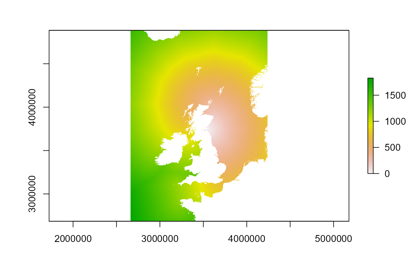
Load example flight distance raster
get_example_fltdist_base.RdCreates a raster layer from the example UK9004171_bysea_3035
dataset included with the package. The raster is reconstructed from
the stored metadata and populated with the associated flight distance
values.
Value
A RasterLayer containing example flight distances from SPA
"UK9004171". The raster includes the correct extent, resolution,
and coordinate reference system derived from the example metadata.
Details
This function provides a ready-to-use example raster for demonstrations, tutorials, and testing workflows.
The raster represents the distance at sea from the example SPA
"UK9004171" to each raster cell. Flight distance is a key input to
seabORD and is used throughout the model to estimate travel costs
associated with foraging at different locations.
The raster is reconstructed from the built-in
UK9004171_bysea_3035 dataset using raster_from_metadata() and
populated with the associated distance values.
The returned raster layer is named "UK9004171".
Examples
# Load the example flight distance raster
fltdist_base <- get_example_fltdist_base()

# Inspect the raster
fltdist_base
#> class      : RasterLayer
#> dimensions : 2200, 1577, 3469400  (nrow, ncol, ncell)
#> resolution : 1000, 1000  (x, y)
#> extent     : 2661966, 4238966, 2685159, 4885159  (xmin, xmax, ymin, ymax)
#> crs        : +proj=laea +lat_0=52 +lon_0=10 +x_0=4321000 +y_0=3210000 +ellps=GRS80 +units=m +no_defs
#> source     : memory
#> names      : UK9004171
#> values     : 0, 1827.609  (min, max)
#>

# Plot the raster
plot(fltdist_base)