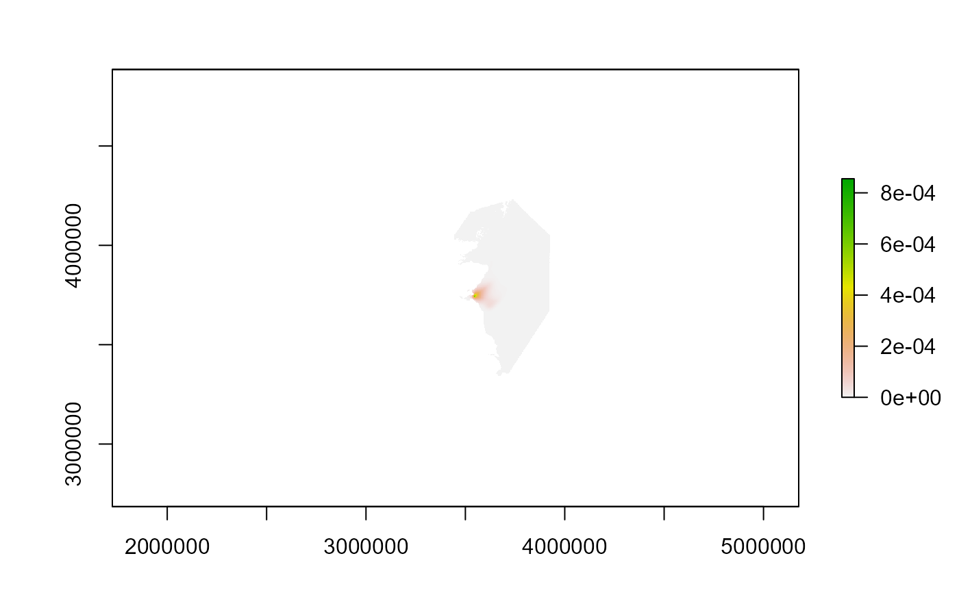
Load example seabird density raster data
get_example_brddata.RdCreates a raster layer from the example BrdData_example dataset
included with the package. The raster is reconstructed from the stored
metadata and populated with the associated seabird density values.
Value
A RasterLayer containing example seabird density data for the Forth
Islands study area. The raster includes the correct extent, resolution,
and coordinate reference system derived from the example metadata.
Details
This function provides a ready-to-use example raster for demonstrations,
tutorials, and testing workflows. The raster is created from the
built-in BrdData_example dataset using
raster_from_metadata() and populated with the associated bird density
values.
The returned raster layer is named "Forth.Islands".
See also
raster_from_metadata() for creating rasters from metadata,
get_example_seamask() for loading the example sea mask raster.
Examples
# Load the example bird density raster
brddata <- get_example_brddata()

# Inspect the raster
brddata
#> class      : RasterLayer
#> dimensions : 2200, 1577, 3469400  (nrow, ncol, ncell)
#> resolution : 1000, 1000  (x, y)
#> extent     : 2661966, 4238966, 2685159, 4885159  (xmin, xmax, ymin, ymax)
#> crs        : +proj=laea +lat_0=52 +lon_0=10 +x_0=4321000 +y_0=3210000 +ellps=GRS80 +units=m +no_defs
#> source     : memory
#> names      : Forth.Islands
#> values     : 6.146309e-21, 0.0009969557  (min, max)
#>

# Plot the raster
plot(brddata)