Load example competition distribution raster data
get_example_frgcompdata.RdCreates a raster layer from the example frgcompdata_example dataset
included with the package. The raster is reconstructed from the stored
metadata and populated with the associated competition distribution
values.
Value
A RasterLayer containing example competition distribution data for
the Forth Islands study area. The raster includes the correct extent,
resolution, and coordinate reference system derived from the example
metadata.
Details
This function provides a ready-to-use example raster for demonstrations, tutorials, and testing workflows.
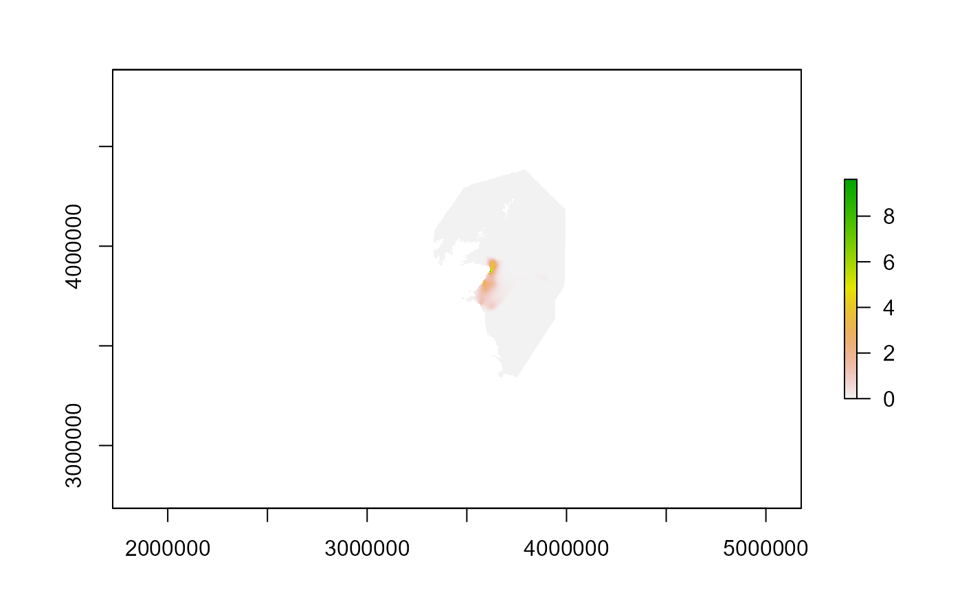
The raster represents a competition distribution map, i.e. the distribution of conspecifics from surrounding colonies that may interact with the colony or SPA being simulated. This information is used throughout the seabORD model to estimate how competition from other colonies influences intake rate at different foraging locations.
The raster is reconstructed from the built-in
frgcompdata_example dataset using raster_from_metadata() and
populated with the associated competition distribution values.
The returned raster layer is named "Forth.Islands".
See also
plot_frgcompdata() for plotting the competition distribution raster,
raster_from_metadata() for creating rasters from metadata.
Examples
# Load the example competition distribution raster
frgcompdata <- get_example_frgcompdata()

# Inspect the raster
frgcompdata
#> class      : RasterLayer
#> dimensions : 2200, 1577, 3469400  (nrow, ncol, ncell)
#> resolution : 1000, 1000  (x, y)
#> extent     : 2661966, 4238966, 2685159, 4885159  (xmin, xmax, ymin, ymax)
#> crs        : +proj=laea +lat_0=52 +lon_0=10 +x_0=4321000 +y_0=3210000 +ellps=GRS80 +units=m +no_defs
#> source     : memory
#> names      : Forth.Islands
#> values     : 2.11668e-17, 10.44772  (min, max)
#>

# Plot the raster
plot(frgcompdata)