Plot a baseline flight-distance raster
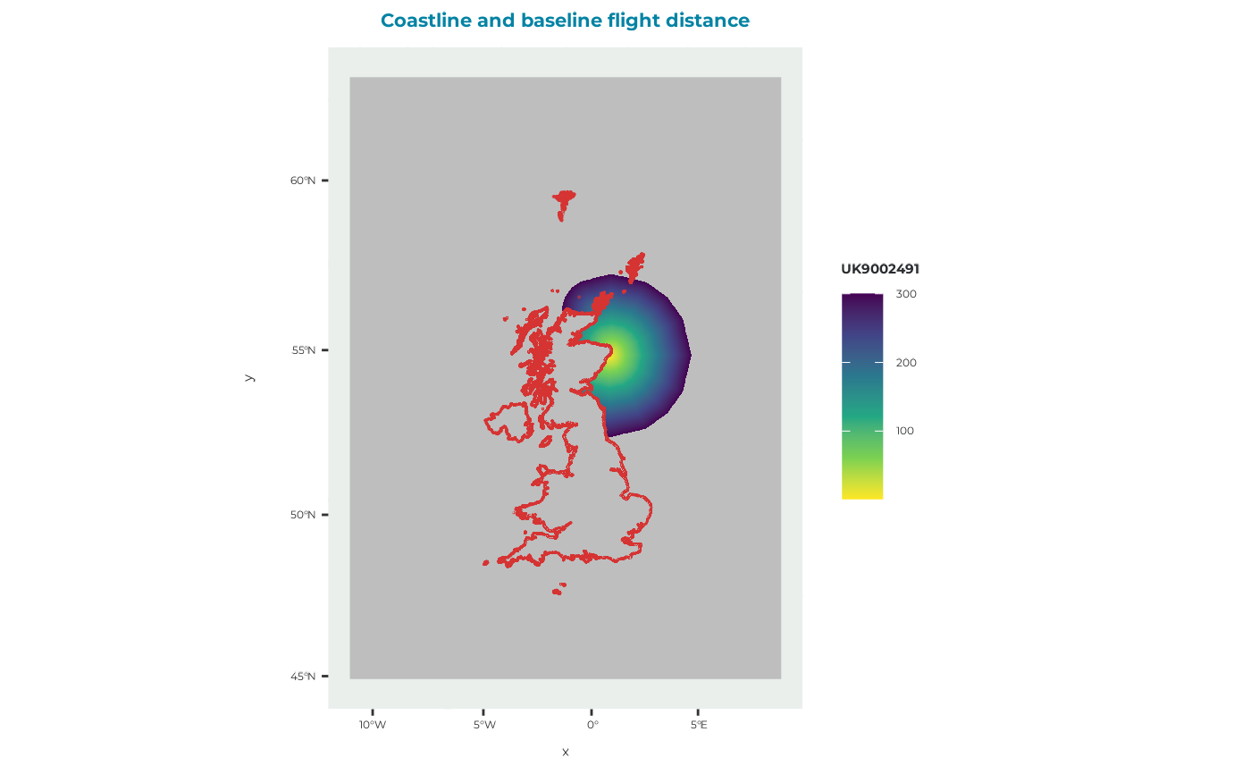
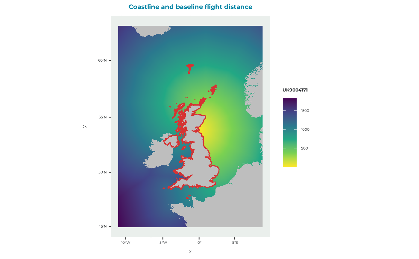
plot_fltdist_base.RdCreates a map of baseline flight distances from a breeding colony to accessible foraging locations and overlays coastlines for geographical context.
Usage
plot_fltdist_base(
  fltdist_base,
  title = "Coastline and baseline flight distance",
  zoom = FALSE
)
Arguments
- fltdist_base
A raster::RasterLayer object containing baseline flight distances, such as the object returned by
get_example_fltdist_base().- title
Character string giving the plot title. Defaults to
"Coastline and baseline flight distance".- zoom
Logical. If
TRUE, zooms the map to the extent offltdist_baseplus a 10 km buffer. Defaults toFALSE.
Value
A ggplot2::ggplot() object showing the baseline flight-distance raster
and coastline.
Details
The input raster represents distance by sea from a breeding colony or SPA to each accessible raster cell. These distances are used by seabORD to calculate travel time and the energetic costs associated with foraging trips.
Raster cells with a value of zero are converted to missing values before plotting. Non-missing values are displayed using a continuous viridis colour scale.
The coastline data supplied with the package are transformed to the
coordinate reference system of fltdist_base before plotting.
See also
get_example_fltdist_base() for loading example flight-distance rasters
and plot_DBS_map() for plotting a distance-by-sea raster.
Other plotting functions:
plot_BirdFlightMap(),
plot_DBS_map(),
plot_DD_map(),
plot_DD_map_with_ORDs(),
plot_ORD_obstruction(),
plot_ORDpoly(),
plot_adult_body_mass(),
plot_brddata(),
plot_calibration_outputs(),
plot_chick_survival(),
plot_colony_location(),
plot_flight_distance(),
plot_frgcompdata(),
plot_seamask()
Examples
# Load and plot the standard example flight-distance raster
fltdist_base <- get_example_fltdist_base()
plot_fltdist_base(fltdist_base)
 # Load and plot the density-dependence example
fltdist_base_dd <- get_example_fltdist_base("dd")
plot_fltdist_base(fltdist_base_dd)