Section 9 Forestry Commission Data
Forestry Service Northern Ireland Data
Several publicly-available data sets from the GB Forestry Commission and Forestry Service Northern Ireland were obtained. Forestry Statistics is a compilation of statistics on woodland, forestry and primary wood processing in the UK, published annually for the UK and broken down to individual countries where possible. This is the basis for the afforestation and deforestation time series that is used in the current GHGI. For this project, we did not retrieve raw data, but used the data previously provided for the current GHGI (by Paul Henshall, Forest Research).
The National Forest Inventory and the National Forest Estate Sub-compartments (SCDB) data sets were downloaded from the FC Open Data website (Forestry Commission 2020). The National Forest Inventory (NFI) is a rolling programme, starting in 2009, designed to provide accurate information about the size, distribution, composition and condition of forests and woodlands and also about the changes taking place in the woodlands through time. The NFI covers any forest or woodland in Great Britain of at least 0.5 hectares in area with a minimum width of 20 m, and that have at least 20% tree canopy cover (or the potential to achieve this). The NFI includes a digital woodland map which is updated annually using more recent aerial photography, interpretation of satellite imagery and administrative records of newly planted areas covered by government grant schemes. There is also a field survey of a representative sample of randomly selected 15,000 one hectare (100 m x 100 m) plots across Britain. The first assessment of the sample sites took place between 2009-2015 with the second ‘cycle’ of assessments taking place between 2015-2020. About two thirds of plot locations are permanent and will be revisited by the survey team during the second and subsequent ‘cycles’ of ground surveying. Data for ‘small woods’ (0.1-0.5 hectares) are based on sample field survey and/or newly emerging high resolution remote sensing data.
The National Forest Estate Sub-compartment Database (SCDB) is the operational GIS data, which has polygonal spatial data for forest stands in GB, For the forest stands managed by FC (and its devolved bodies), there is considerable descriptive data (planting year, species, yield class), though this is largely absent from the privately-managed stands. To impute the planting year where this was missing, we sampled from the distribution of planting years produced for the current GHGI methodology by Forest Research. This means that for private forestry, the planting year is not accurate on an individual stand basis, but the overall distribution matches that of the rest of the forest estate.
The equivalent of the Sub-compartment Database from the Forestry Service Northern Ireland was provided by AFBI. These data were reprojected to OSGB, and merged with the GB data, and rasterised to 25-m resolution to produce a consistent forest map for the UK (Figures 9.1). This includes the small woodland areas within the limits of this resolution, and a time dimension in the form of the planting year. The latter is imperfect information, since we do not know if this is the date of new planting or replanting, but is the best available at present.
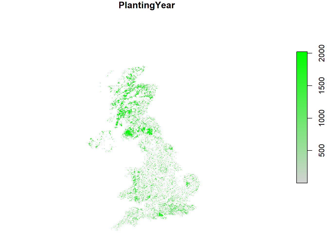
Figure 9.1: Map of forest area and date of planting across the UK from FC NFI, SCDB, and FSNI data.
References
Forestry Commission. 2020. “Forestry Commission Open Data.” 2020. https://data-forestry.opendata.arcgis.com/.