Section 10 IACS
The Integrated Administration and Control System (IACS) is a European-wide spatially explicit dataset at the field level that serves as a register of agricultural subsidy claims under the EU Common Agricultural Policy. IACS records field-level land use (crop type, grassland age, forest coverage), field geometry and its association to a farm holding. This has large, but not complete spatial coverage in the UK. The administration of the system differs across the DAs, and has changed over time. In England, this is now run by the Rural Payments Agency (RPA) but we refer to this as IACS for back-consistency. IACS uses a very large number of classes, which has changed over time, and a table show the correspondence between these and LULUCF classes is too large to display here but available on GitHub. Although UKCEH already holds the data for use in other projects, gaining explicit permission to use the data for this project proved very protracted. To date, explicit permission has only been granted for the English IACS(RPA) data. No other IACS data are shown here for this reason. However, the Scottish data have already been used in this framework previously, and adding these back in together with Welsh and Northern Irish data when available should be straightforward.
English were available for 2004 to 2019, as a vector product. Processing involved re-classifying the IACS classes to the six LULUCF classes. Data from 2015 onwards had a different classification, and a further sub-set of data were obtained to try to make the time series consistent. However, the issues are not all resolved at the time of writing, and the post-2015 data are not used here.
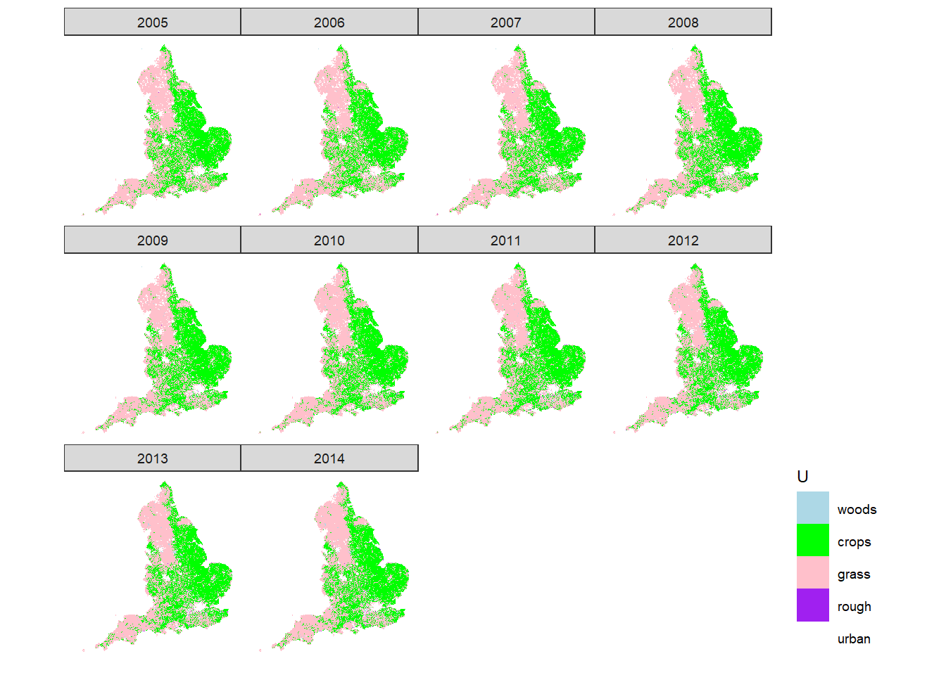
Figure 10.1: Spatial distribution of LULUCF land-use classes in the UK according to IACS.