Section 12 Land Cover Plus Crops
UKCEH Land Cover® plus: Crops (LCC) (UKCEH 2016) is based on the Land Cover Map parcel framework. Every parcel which is larger than 2 ha and categorised as agricultural land is coded with crop type information from satellite data - Copernicus Sentinel-1 C-band SAR (Synthetic Aperture Radar) and, from 2016 onwards, Sentinel-2 optical data. Data are available for 2015 (partial GB coverage only), 2016, 2017, 2018 and 2019 cropping years.
Maps were available for 2015 (partial GB coverage only), 2016, 2017, 2018 and 2019 cropping years, as vector product. Processing involved re-classifying the 11-class UKCEH Land Cover Map data to the six LULUCF classes. The table below shows the correspondence between LC: Crop classes and LULUCF classes.
| LCCROP.ID | LCCROP.DESC | LULUCF_class_ID | LULUCF_class_name |
|---|---|---|---|
| 1 | Beet | 2 | crop |
| 2 | Field Beans | 2 | crop |
| 3 | Grass | 3 | grass |
| 4 | Maize | 2 | crop |
| 5 | Oilseed Rape | 2 | crop |
| 6 | Other crop | 2 | crop |
| 7 | Peas | 2 | crop |
| 8 | Potatoes | 2 | crop |
| 9 | Spring Barley | 2 | crop |
| 10 | Spring Wheat | 2 | crop |
| 11 | Winter Barley | 2 | crop |
| 12 | Winter Oats | 2 | crop |
| 13 | Winter Wheat | 2 | crop |
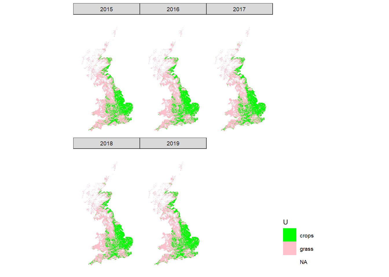
Figure 12.1: Spatial distribution of crop and grass land-use classes in the UK according to LCC.
References
UKCEH. 2016. “UKCEH Land Cover® Plus: Crops.” UK Centre for Ecology & Hydrology. January 25, 2016. https://www.ceh.ac.uk/crops2015.